• Home
  • About Us
  • Our Events
    • 5 MIler Archives
  • Walkability/Bikeability
    • Newsletter Archives
  • Waterway Revitalization
  • MACWell
  • Our Friends
    • The Green Circle Trail
    • ExplorePAtrails
    • Safe Routes Partnership
  • Get Involved
  • Contact Us
MPMC Project

How's it going?

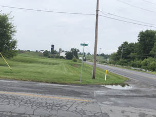
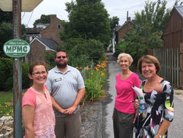
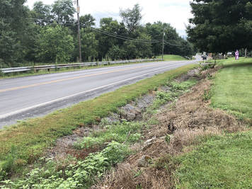
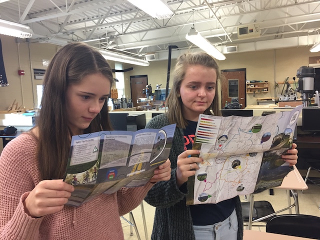
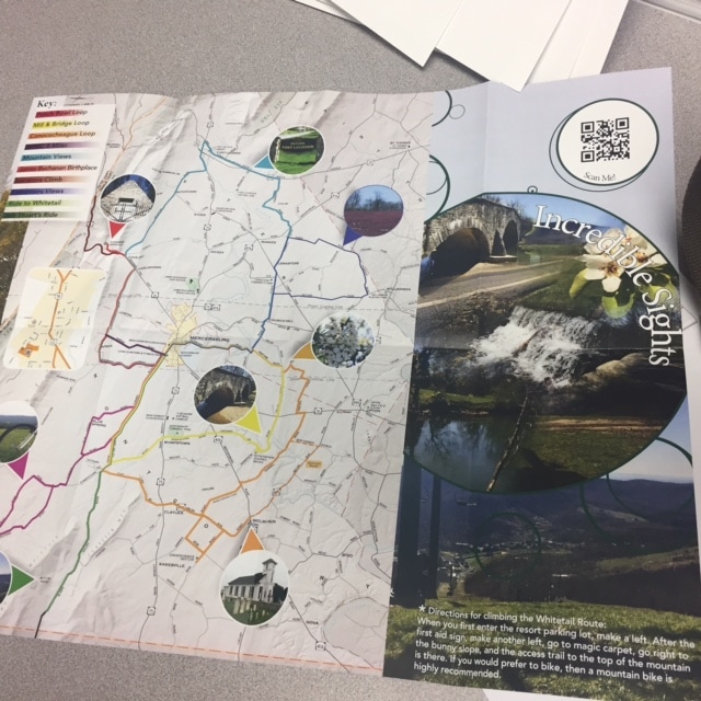
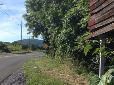
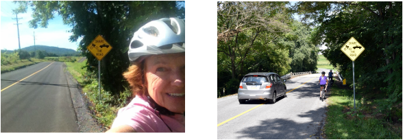
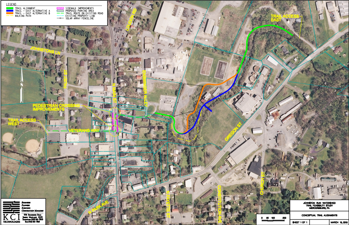
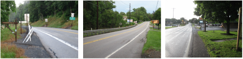
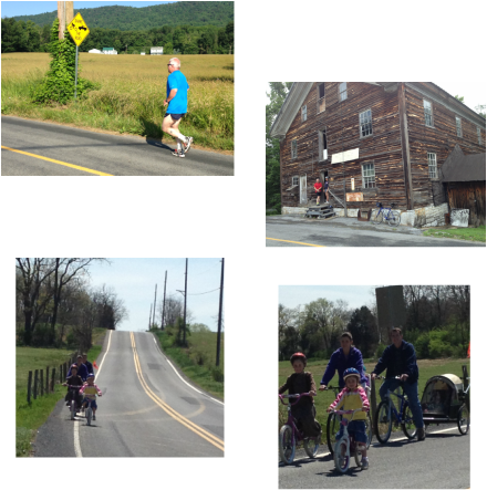
Feasibility Study: The Work in Progress

    The study describes a seamless network of safe and scenic routes for non-motorized traffic  that reconnects the community to places it wants to go – whether to work, school, shopping, business, parks or historic sites. The feasibility study prescribes the steps that need to be taken on the various routes to make them safe.  For some routes it’s just the addition of “share the road” and other safety signs, for others it’s creating a smooth and even shoulder or bike lane, and other places it requires a side path or a separate trail.  A few routes are already safe and just require the usual pedestrian, bicycle safety measures.  We coordinate with everyone from government officials to local individuals.  We'll keep you posted on progress and you keep cycling and walking!  In the US in the late 1960's nearly 50% of children walked to school; a long term goal of the study is for safe routes to walk and bike to school.   

Planning for Complete Streets as part of Road Work 

Picture
Our bike route map, marked routes, safety signage and increasing awareness by drivers (see below) have begun to create our safe, seamless network for walking and biking. Now we are also focusing on long term planning, so that as street work is planned - including by Penn DOT, the result is a "complete street" that safely  accommodates non motorized traffic also.  And consideration needs to be given to storm water drainage from the roads and environs.
Picture
Complete street "visioning" tour included Linda Hargrove (MA community rep and mom of 4) Chris Ardinger (TACC director) Becky Wolf and Liz George MPMC committee. Not shown - Patrick Starr VP of PEC
Picture
Road work planning should include management of stormwater run off. PEC noted  that planted Bioswales can slow water flow and provide filtration and infiltration, cleaning it and decrease the amount before it is added to Johnston Run.
​Pennsylvania Environmental Council pecpa.org/programs/trails-recreation/ visited Mercersburg  to discuss how to achieve these goals in our area. PEC works with a number of communities and groups on implementation of safe walking/biking projects across PA; they help connect them to experienced resources and funding.  

 Shown on the left at the intersection with Landis Drive, Penn DOT SR3009 (which includes Churchill, Oregon St, Park Ave and Corner Road) is a major connector in and out of town; traffic is increasing, speed limits are excessive, and many areas need safety improvement for walking and cycling - smooth shoulders, lane marking, side paths where possible;  PEC noted the benefit of round abouts for creating smoother, safer flow. 

With thoughtful planning alleys in the Borough could provide very pleasant walking and cycling routes, and not rush water down into the road and into Johnson’s Run.  Dr George pointed out a large water outlet into Johnston Run from Park St at the end of Fenefrock Alley; it carries large amounts water from roofs, roads, parking lots along with road debris, dirt, lead, oil, salt, animal droppings, litter into our stream.  Fenefrock Alley in the photo above is part of our Alley Loop and would benefit from planning including revitalization and addressing stormwater.


Enjoy our Favorite Bike Rides

Picture
Picture

Our roads are beautiful and scenic, gently rolling and turning.  As part of our Feasibility Study, cyclists have contributed their favorite routes – for riding to work, visting our historic sites or enjoying our wonderful views.  A collaboration with the talented JBHS Graphics Art Design Class has produced this beautiful map and helpful descriptions to guide your way.


Cars, bicycles, and walkers generally do well sharing the road, however, these are not official bike routes.  Riders assume all risks.  Please read the "Safety Tips for Cycling" and follow proper safety protocols when cycling.

​
Click for the Bike Map!
Picture
Picture
"Share the Road" signs help grow our "safe and scenic network" of routes for non motorized traffic.
Picture
Picture
On the left and above, Blair Valley Road heading to our all-season resort, WhiteTall, has a new smooth surface.  The shoulder is not rideable, so the Share the Road sign reminds drivers to keep the 4 foot space required by law as they pass cyclists.  On my ride - all passing cars kept that space - and usually waved "hello".   The photo on the right shows a car giving space to cyclists on the bridge - and slowing to watch for oncoming traffic.  Many thanks to Montgomery and Peters Township Supervisors and to courteous drivers, and  as they add to the safety of our roads for everyone.

Borough Streamside Trail Plan

Picture
<--- Click the image to check out The Borough Streamside Trail!  The site will be perfect for a wonderful wooded walk or bike ride.  It's easy to reach from town and wheel chair accessible.  Lunching at Romeo's?  Stroll on over.  As you stroll through the woods enjoy the babble of Johnston Run and watch for wild life.  Part of the project will be "renaturalizing" the area including additional trees and wildflowers; if you enjoy natural "gardening" you are welcome to join in this.   The East end of the trail goes to a seating area with stream views and room for people too play (think frisbee and room for kids to run around)   The East end is planned to meet  Ensminger's Alley and it's a short walk from there to the VFW ball park.  (We'll have to create a safe crosswalk).  Cyclists visiting from out of town can park at the west trail head, start from the stream side trail, and head off to our beautiful country roads toward Whitetail, the Alpaca Farm, or James Buchanan's birth place.

MPMC meets with Penn DOT Team

Picture
MPMC members met with the Penn DOT team planning the Rt 16 West repaving.  Smoother, even shoulders, safety markings, and "share the road" signs will all make it safer to walk or bike to locations such as local shops, James Buchanan Birth Place - State Park, and at the Tuscarora Ridge trail crossing.

Improving Roadway Safety while Out for Beautiful Bike Rides

Picture
We bike the area because we love it but we're also on the lookout for how the area roadways could be more bicyclists and pedestrian friendly.  We especially take note of where signage would be useful and have new signs installed to ensure roadways are shared safely (see photo with "share the road" sign).  Let us know if you know of a place that could benefit from signs!

Also there are so many great destinations in the area.  Here we are stopping by Anderson's Mill on a Saturday morning ride.  The new bicycle map also includes many special places and view.  What are some of your favorite spots to explore?

Here's a family out for a Saturday ride.  It is so great to see cycling safety: with helmets, single file, red flag, and riding with the flow of traffic. MPMC's walkability/ bikeability Feasibility Study makes recommendations for wider shoulders or side trails and share the road signs for traveling our beautiful countryside


Powered by Create your own unique website with customizable templates.
  • Home
  • About Us
  • Our Events
    • 5 MIler Archives
  • Walkability/Bikeability
    • Newsletter Archives
  • Waterway Revitalization
  • MACWell
  • Our Friends
    • The Green Circle Trail
    • ExplorePAtrails
    • Safe Routes Partnership
  • Get Involved
  • Contact Us