Feasibility Study Results
Executive Summary
The Executive Summary provides a brief overview of the intention and recommendation of the feasibility study completed in August 2012 and in the process of being published.
Click Photo for Executive Summary
Click Photo for Executive Summary
Recommended Improvements Map
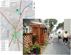
Creating a network of safe and scenic walking and biking routes. With these improvements, people can walk or bike safely to local schools, shops, restaurants, parks and historic sites. See how it all gets connected!
Click Photo to see the Recommended Improvements Map
Click Photo to see the Recommended Improvements Map
The Bigger Picture
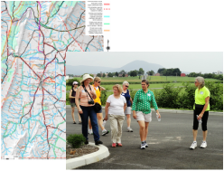
The study utilized community feedback and workshops to identify where people like to walk, jog and cycle. Their view and the study narrative show what is needed to make these routes safe and connected.
Click Photo to See the bigger picture Map
Click Photo to See the bigger picture Map
Regional Connections Map
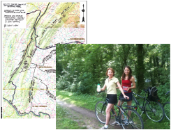
Mercersburg, Montgomery and Peters are located at the foot of the Tuscarora Ridge. Bike ride along J.E.B. Stuart's route into PA during the civil war or along the C&O canal. Bike and stroll along the Tuscarora Ridge, around James Buchanan State Park and bicycle Route 5. All of these are perfect "go to" locations for history buffs as well as outdoor adventurers!
Click Photo for Regional Connections Map
Click Photo for Regional Connections Map
The Study Roll Out
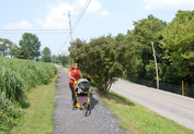
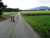
What could the walking and cycling paths look like? Here's an example from Mcfarland Road in Mercersburg. The gentle hills and beautiful views are enjoyed by many walkers, joggers and cyclists everyday. Compare existing conditions to what it could be!
Click Photo for Roll Out Event Hand Out
Click Photo for Roll Out Event Hand Out

